Recherche
Cycling maps and trails
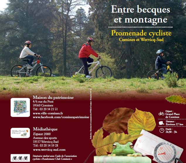
"Becks to Mountain” trail
This pleasant biking trail winds from the riverbanks along the tow paths and country lanes across meadows and pastures until you reach the final destination, La Montagne. Explore the rural heritage with its farms, chapels and gîtes along your journey.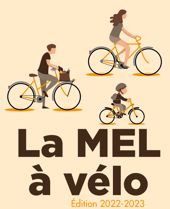
Lille Metropole cycle paths map
The “MEL by bike” map is a handy tool for planning your cycling itineraries. It features all the cycling paths and amenities in the Lille Metropole area as well as indicating the region’s train, metro and tram stations, secure bike shelters and V’lille bike hire points, bike trails, bike highways, green lanes and recommended routes, compiled with the Droit au Vélo association (ADAV).
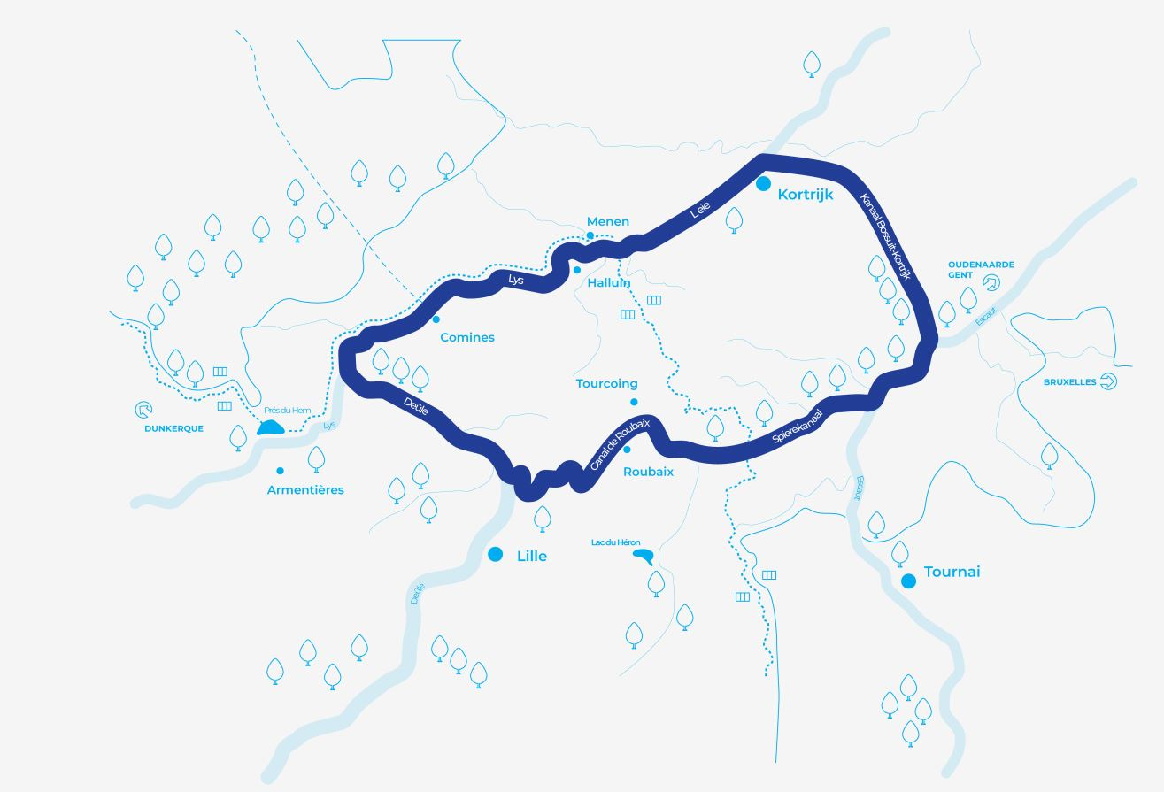
Eurometropole “Carré Bleu” map
The Lille-Kortrijk-Tournai “Eurometropole” is a cross-border region comprising 152 towns and villages. This booklet and map contains all the information you need to make the most of this cycle route. Criss-crossed by the EuroVelo 5 cycling route and other cycling itineraries, the Eurometropole region is right at the heart of a dense biking network. The perfect opportunity to explore this cross-border part of the continent. Hop on your saddle and start your cycling adventure today!